
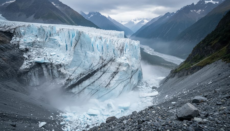
On August 26, 2026, a massive section of glacier at 5,200 meters elevation broke away and plummeted 1,200 meters down a Himalayan slope in Nepal, triggering a destructive debris flow that surged into the Lhende river catchment and sent a violent flood wave across the Nepal-China border at Rasuwagadhi. The U.S. Geological Survey confirmed the collapse generated seismic signals initially mistaken for an earthquake, underscoring the sheer scale of the event. This disaster exemplifies a troubling pattern documented by Kathmandu-based research institutions: glaciers across the Himalayas are melting at an accelerating rate, destabilizing mountain slopes and creating cascading risks that threaten communities downstream.
“This week’s flood wave shows how rising temperatures are melting glaciers and destabilizing slopes, leading to complex, cascading disasters,” explains Prashant Baral, a cryosphere analyst at ICIMOD, a Nepali climate organization at the forefront of monitoring these changes. The August event was not an isolated incident but a stark illustration of how climate warming transforms stable ice into deadly hazards. As glacial melt accelerates, Nepal faces a future where such catastrophic collapses become more frequent, reshaping not only the physical landscape but also the safety and livelihoods of millions living in glacier-fed river basins.
1. The August 2026 Glacial Collapse: A Climate-Driven Disaster Unfolds
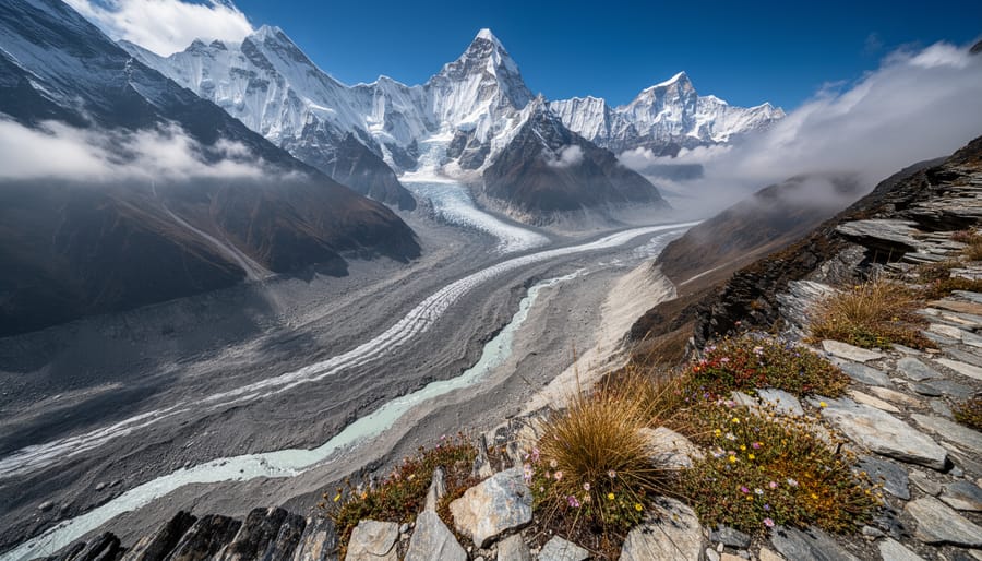
On August 26, 2026, seismic monitoring stations across Nepal and Tibet registered unusual signals that initially suggested earthquake activity in the high Himalayas. Within hours, however, researchers began piecing together a more alarming story. The tremors weren’t tectonic. They were the signature of a massive glacial collapse, one that would send ice, rock, and meltwater cascading down a mountain face in a chain reaction that demonstrated just how quickly climate-driven disasters can unfold in warming mountain environments.
The U.S. Geological Survey analyzed the seismic data and reached a striking conclusion: the signals came from a catastrophic failure of glacial ice and bedrock, not from fault movement beneath the Earth’s surface. Satellite imagery revealed what had happened at the source. A substantial section of a glacier snout at roughly 5,200 metres elevation, perched high in the mountains near the Nepal-Tibet border, broke away from its moorings. The ice mass, destabilized by rising temperatures that had been weakening the structure for years, plunged approximately 1,200 metres toward the valley floor below.
That vertical drop transformed the collapse into something far more dangerous. The falling ice shattered on impact, mixing with fractured rock and meltwater to form a debris flow, a fast-moving slurry of ice chunks, boulders, sediment, and water. This mixture entered the Lhende river catchment and began racing downslope, gaining volume and momentum as it scoured the narrow valley. The debris flow traveled roughly 20 kilometres downstream toward Rasuwagadhi, the main border crossing between Nepal and China, threatening communities and infrastructure along the route.
What made this event particularly significant for Climate Change Studies wasn’t just its scale, but the mechanism it revealed. Rising temperatures had melted and weakened the glacier over time, reducing the ice’s structural integrity until gravity finally won. The collapse itself generated the energy to pulverize ice and rock into a mobile torrent, which then exploited the valley’s topography to amplify the hazard. The flood wave that reached the border wasn’t simply meltwater, it was the downstream product of a multi-stage disaster set in motion by a warming climate acting on unstable frozen slopes.
2. Satellite Evidence Reveals the Scale of Himalayan Ice Loss
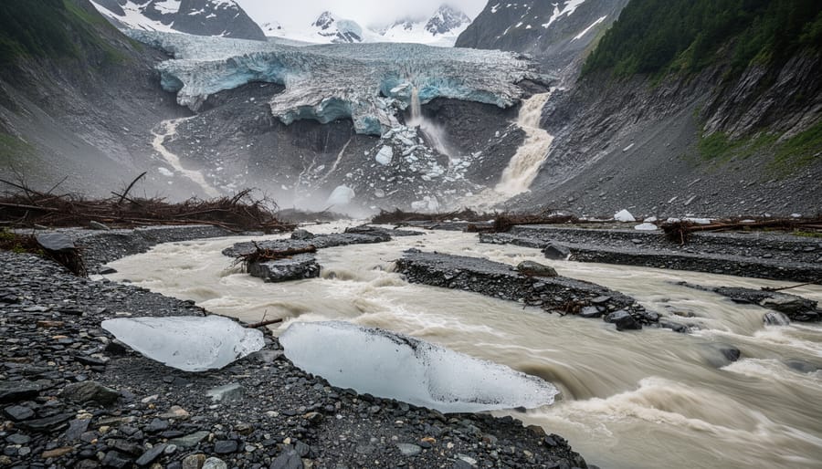
Within hours of the August 26, 2026 collapse, orbiting satellites captured a stark picture of what had happened high in the Himalayas. Synthetic aperture radar and optical imaging systems revealed that a substantial section of glacier snout had separated from the parent ice mass at roughly 5,200 metres elevation. The broken ice and rock plummeted approximately 1,200 metres toward the valley floor, a vertical drop that transformed solid ice into a churning debris torrent capable of traveling dozens of kilometres downstream.
Remote sensing technology has become indispensable for monitoring glacial hazards in regions where ground access remains difficult or impossible. Satellites orbiting at regular intervals provide continuous surveillance of glacier geometry, surface conditions, and structural changes that signal growing instability. For the August event, analysts compared pre-collapse imagery with post-event scans to measure exactly how much ice had detached and trace the debris path as it entered the Lhende river catchment approximately 20 kilometres upstream of the Rasuwagadhi border crossing.
The satellite evidence tells researchers critical details about glacial destabilization mechanisms in warming conditions. Prashant Baral, a cryosphere analyst at ICIMOD (International Centre for Integrated Mountain Development), notes that these imaging systems allow scientists to identify early warning signs: crevasse patterns widening near glacier fronts, meltwater pools forming on ice surfaces, and subtle elevation changes that indicate structural weakness. The August collapse showed classic destabilization features visible in retrospective analysis, features that will inform future monitoring protocols.
What makes this event particularly significant for Climate Change Studies is how clearly the satellite record documents the connection between rising temperatures and mechanical failure. The imagery shows not just the collapse itself but the precursor conditions: thinning ice, altered surface characteristics, and thermal stress patterns consistent with sustained warming. This visual evidence transforms abstract climate projections into concrete documentation of how heat translates into catastrophic structural failure in mountain ice systems.
3. Kathmandu Research Confirms Accelerating Melt Rates Across the Himalayas
Research teams in Kathmandu have documented a troubling acceleration in glacial melt across Nepal’s mountain ranges, providing the scientific backdrop that explains why events like the August 2026 collapse are becoming more frequent. Studies conducted by Kathmandu-based research groups reveal that Himalayan glaciers are losing mass at rates significantly faster than previously measured, with temperature increases in high-altitude zones outpacing global averages. These findings show the August disaster fits into a broader, accelerating pattern of ice loss that threatens both immediate safety and long-term water security.
The research paints a stark picture of changing conditions across Nepal’s glaciated peaks:
- Melt rates have accelerated measurably over the past two decades, with some glaciers losing thickness at twice the historical average
- High-altitude temperature increases in the Himalayas are running 0.3 to 0.7 degrees Celsius above the global mean warming trend
- Current trajectories suggest continued retreat across most Nepali glaciers through mid-century, with smaller, lower-elevation glaciers at risk of disappearing entirely
- Summer ablation now consistently exceeds winter accumulation, meaning glaciers are in persistent negative mass balance
These trends help explain why the Lhende river catchment collapse occurred when it did. Warming temperatures don’t just melt ice gradually; they undermine structural stability by creating meltwater that penetrates cracks, weakens anchor points, and lubricates potential failure planes. What researchers once viewed as isolated incidents now appear as predictable consequences of sustained warming in high-mountain environments.
The implications extend far beyond immediate disaster risk. Nepal’s glaciers feed major river systems that supply water to hundreds of millions of people downstream. Accelerating melt initially increases river flow, but as glaciers shrink past critical thresholds, summer water availability will decline precisely when agricultural and urban demand peaks. The Kathmandu research makes clear that communities dependent on glacial meltwater face a narrowing window to adapt infrastructure and water management systems before seasonal flows become unreliable.
Why This Matters: Complex, Cascading Climate Disasters
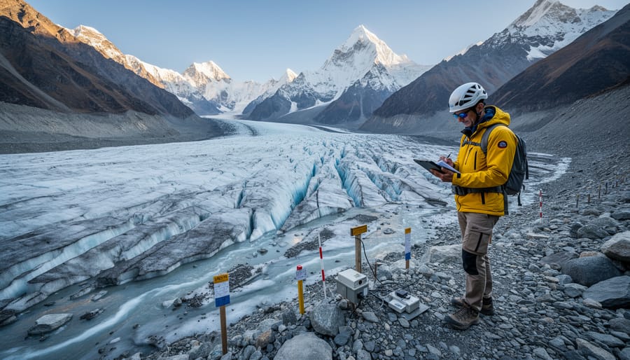
The August 2026 glacial collapse in Nepal represents far more than a single disaster, it’s a wake-up call for how climate change creates compound hazards that multiply beyond what traditional risk models predict. When temperatures rise in mountain environments, the effects don’t unfold in isolation. Instead, they trigger a domino sequence: warming melts glacial ice, which destabilizes massive rock and ice formations, which then collapse and generate debris flows, which transform into flood waves that devastate communities kilometers downstream. This event demonstrates precisely that chain reaction, where the initial temperature increase sets off a cascade of interconnected disasters that cross borders and amplify damage at each stage.
For Climate Change Studies, this cascading mechanism presents a fundamental challenge. Researchers can no longer assess mountain hazards in silos, evaluating flood risk separately from glacial stability, or landslide probability independent of ice loss. The Nepal event shows that rising temperatures create complex disaster chains where one failure triggers the next, often with little warning. This has profound implications for risk assessment in vulnerable mountain regions worldwide, from the Andes to the Alps to Central Asian ranges, all of which contain similar combinations of glaciers, steep terrain, and downstream populations.
The shift from slow glacial retreat to sudden, catastrophic failure also changes the timeline for mitigation and adaptation strategies. Communities that assumed they had decades to prepare for gradual changes now face the possibility of abrupt disasters with immediate consequences. Scientists studying the Himalayas are documenting accelerating melt rates that suggest more such events are likely, not as isolated incidents but as symptoms of a mountain system under increasing thermal stress. Understanding these cascading mechanisms isn’t just academic, it’s essential for protecting the millions of people who depend on these mountain water sources and live in the path of potential debris flows.
What to Watch: Nepal’s Climate Future and Global Mountain Risks
Looking ahead, Nepal’s glacial crisis demands coordinated monitoring and proactive adaptation across multiple fronts. The August 2026 collapse underscores the urgency of tracking these systems before they fail catastrophically.
Satellite observation and ground-based monitoring networks must expand significantly. Current remote sensing capabilities, enhanced by AI in environmental science tools that can detect subtle changes in glacier mass and stability, need to cover more of Nepal’s 3,800 glaciers. ICIMOD and partner institutions are working to identify which glaciers pose the highest collapse risk, but comprehensive surveillance remains patchy in remote high-altitude zones.
Early-warning systems represent the most immediate lifesaving investment. Communities downstream from unstable glaciers need alert networks that can deliver actionable warnings hours before debris flows arrive, not minutes. This requires sensor arrays in catchment areas, reliable communication infrastructure in mountain valleys, and community training on evacuation protocols.
Priority areas for monitoring and action include:
- Continuous satellite and ground surveillance of high-risk glacier systems across the Himalayas
- Deployment of community-based early-warning networks in vulnerable valleys
- Infrastructure hardening for bridges, roads, and settlements in potential flood paths
- Cross-border data sharing and joint preparedness between Nepal, China, India, and Bhutan
Nepal’s experience offers critical lessons for other mountain regions confronting similar hazards. The Andes, European Alps, and Central Asian ranges all face accelerating melt driven by inadequate progress on low-carbon energy transitions. The cascading disaster mechanism documented at Rasuwagadhi, glacier collapse triggering slope failure triggering debris flow, is not unique to the Himalayas. Mountain nations worldwide can apply Nepal’s hard-won insights on monitoring priorities, warning system design, and adaptation frameworks to reduce their own vulnerabilities before the next collapse occurs.
Common Questions About Nepal’s Glacial Collapse and Climate Impacts
The August 2026 collapse has raised urgent questions about how warming affects mountain ice and what risks lie ahead. Understanding these dynamics helps communities and researchers prepare for an era of accelerating glacial change.
Can glacial collapses be predicted?
While satellite monitoring and seismic networks can detect instability indicators, such as ice thinning, meltwater accumulation, and slope changes, precise timing remains difficult to forecast. The August 26, 2026 Nepal-Tibet event generated seismic signals initially mistaken for an earthquake, highlighting how quickly these catastrophic releases can occur once critical thresholds are crossed.
How does climate change accelerate glacial destabilization?
Rising temperatures increase meltwater flow within and beneath glaciers, reducing friction that normally anchors ice to bedrock. This lubrication effect, combined with steepening ice faces as lower elevations thin faster, creates unstable conditions where massive ice volumes can suddenly detach and fall, as happened in the 1,200-metre collapse from 5,200 metres elevation in Nepal’s recent disaster.
What makes the Himalayas particularly vulnerable?
The Himalayas hold the world’s largest concentration of glacial ice outside polar regions, with steep terrain that amplifies collapse potential. Kathmandu-based research shows these glaciers are melting at accelerating rates, while the region’s high elevations mean even small temperature increases push vast ice masses past stability thresholds, creating cascading disasters that affect both upstream and downstream communities.
How do these events affect water resources and disaster risk?
Glacial melt feeds major river systems supplying hundreds of millions of people across South Asia, so accelerating ice loss threatens long-term water security. In the short term, collapses generate immediate flood hazards, the debris flow that traveled through the Lhende river catchment toward Rasuwagadhi demonstrates how rapidly these events can threaten cross-border populations with little warning.
The scientific consensus on warming’s role in glacial retreat is unequivocal, supported by satellite evidence, ground observations, and modeling studies. What remains uncertain is the specific timing and scale of individual collapse events, making robust early-warning systems and cross-border coordination essential. Other high-mountain regions, including the Andes, Alps, and Central Asian ranges, face similar vulnerabilities, though the Himalayas’ combination of massive ice volume, steep topography, and dense downstream populations creates uniquely complex risk scenarios.
The August 2026 glacial collapse in Nepal marks an irreversible shift in how the world must understand mountain climate hazards. What once belonged to projections and models now exists as documented catastrophe, captured in satellite imagery and seismic records. The 1,200-metre ice and rock avalanche that triggered a cross-border flood wave is not an outlier but a preview, a visible manifestation of forces already reshaping high-altitude landscapes across the Himalayas.
Accelerating melt rates, confirmed by Kathmandu research groups and observed through remote sensing platforms, leave no room for complacency. These glaciers feed rivers that sustain hundreds of millions of people downstream, making every cubic metre of lost ice a matter of regional water security and disaster preparedness. Nepal’s experience underscores the urgent need for continuous satellite monitoring, robust early-warning systems, and binding cross-border agreements that treat glacial hazards as shared threats requiring coordinated response.
The lessons extend far beyond Nepal’s borders. Mountain ranges from the Andes to the Alps face similar destabilization as temperatures climb, and the August 2026 event offers a framework for understanding cascading climate disasters in these vulnerable regions. The crisis is no longer approaching; it has arrived, and the response must match that reality.